To support Vision 2030’s rapid build-out, KBD provides independent, science-based policy and strategy advice—turning stewardship principles into practical frameworks that protect nature, respect communities, and keep delivery on schedule.
Real-world progress from our labs, field sites, and partners
To support Vision 2030’s rapid build-out, KBD provides independent, science-based policy and strategy advice—turning stewardship principles into practical frameworks that protect nature, respect communities, and keep delivery on schedule.
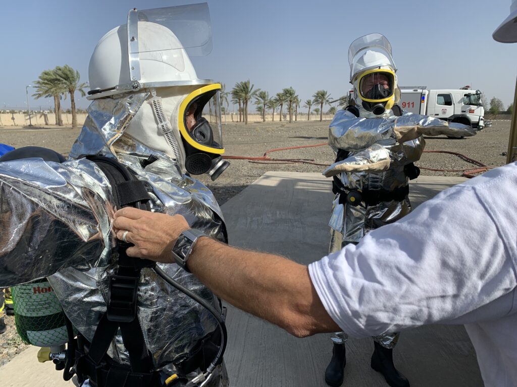
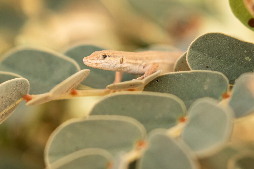
KBD delivers field training that builds national capability in wildlife conservation and environmental compliance. Focus areas include desert wildlife handling and marine ranger development, strengthening safe, ethical, standardised practice as development expands.
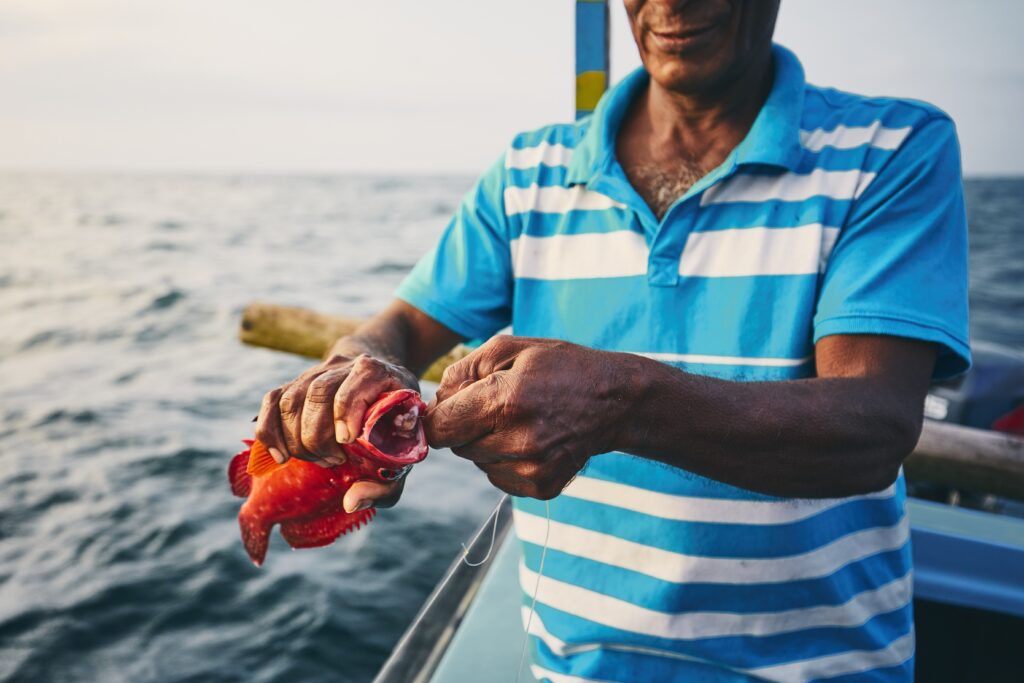
KBD mapped NEOM’s socio-economic landscape using port observations, statistically robust surveys, and in-depth interviews. We reviewed vessel registration systems and gathered data through direct observations, on-site measurements, and phone surveys with vessel owners and fishers.
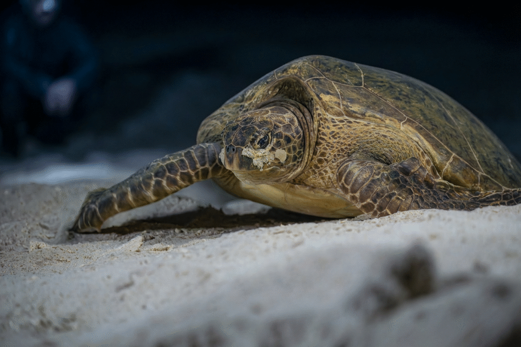
Since 2021, KAUST Beacon Development (KBD) has led the Ras Baridi Turtle Conservation Initiative (RBTCI), protecting these fragile populations through direct conservation, scientific research, and community engagement.
KBD’s Geomatics team turns satellite, aerial, and in-water observations into decision-ready intelligence for planning, conservation, and compliance—so clients can deliver at speed without trading off environmental integrity.
