Contact us

Spatial Evaluation of Masterplans

KBD’s Geomatics team turns satellite, aerial, and in-water observations into decision-ready intelligence for planning, conservation, and compliance—so clients can deliver at speed without trading off environmental integrity.

Impact

  • Why this matters

    Development footprints are growing while data gaps persist. Robust, spatially explicit evidence helps select sites, avoid sensitive habitats, and target restoration—supporting defensible permits and long-term ecosystem gains.

  • Impact

    Design for Net-Positive

    Plan to avoid, restore, and enhance not just offset.

    Nature First

    Priority zones protect Blue Carbon habitats and species of concern.

    Proof, Not Promises

    Transparent data and audits steer approvals and adaptive management.

    Meet your Expert

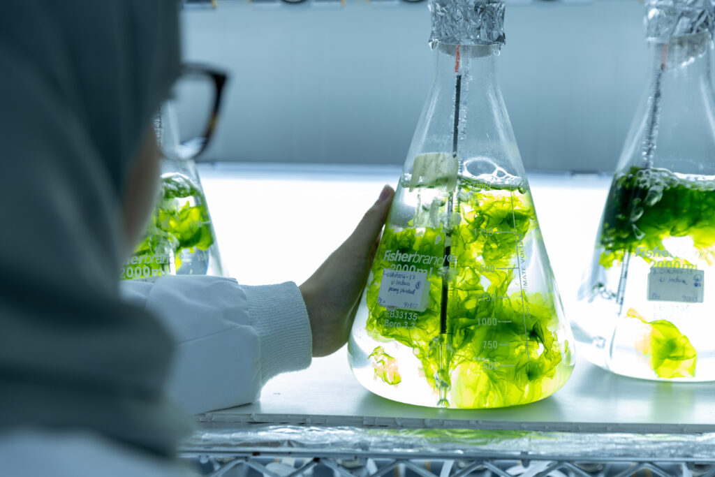
    With a multidisciplinary team of over 150 professionals KBD combines local talent with global experts under one roof. Our mission is to drive transformative change and help achieve the nation’s Vision 2030 by providing strategic, science-backed solutions.

    Abhishekh Palaparambil Vijayan
    Geomatics Manager

    Our Expertise and Focus Areas